The streetcar test
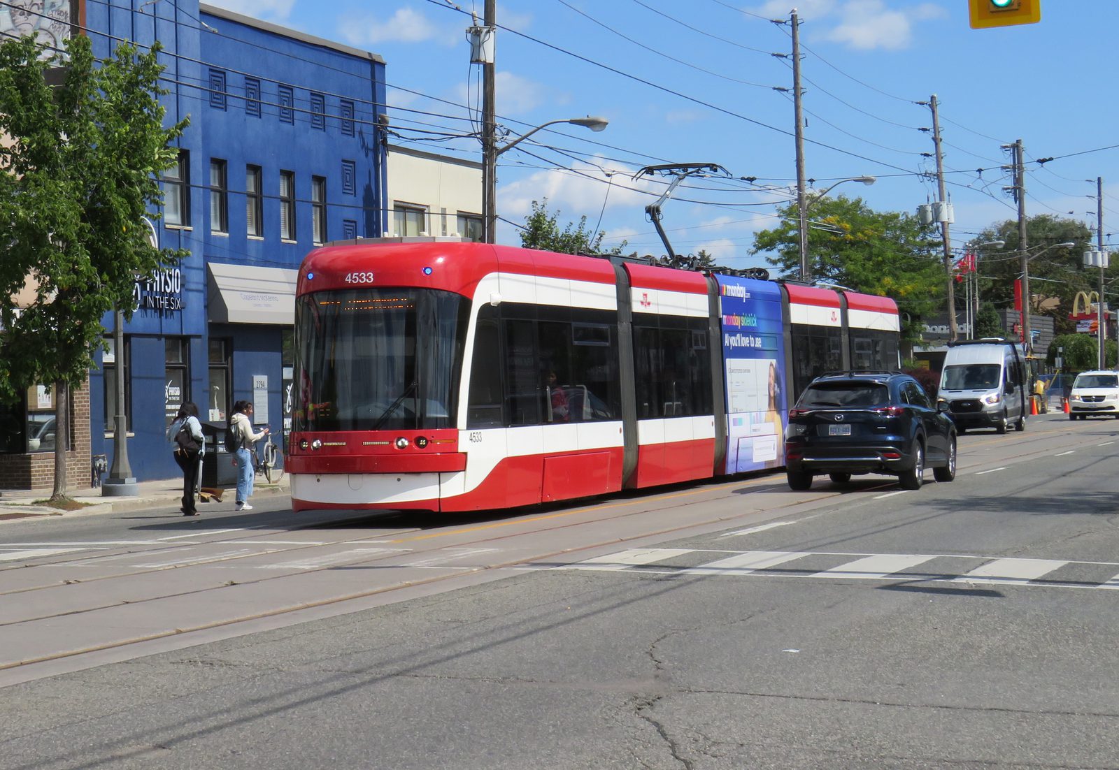
A TTC streetcar on the line — the quiet force behind Toronto’s price map · Photo: Transportfan70 / Wikimedia Commons · CC BY 4.0
Toronto’s real estate map is drawn in streetcar lines. The 501 Queen, the 504 King, the 506 Carlton — where they run, prices follow, because a short ride to downtown without a car is the thing this city quietly charges the most for. Learn the routes and you can read the price tags before you see them.
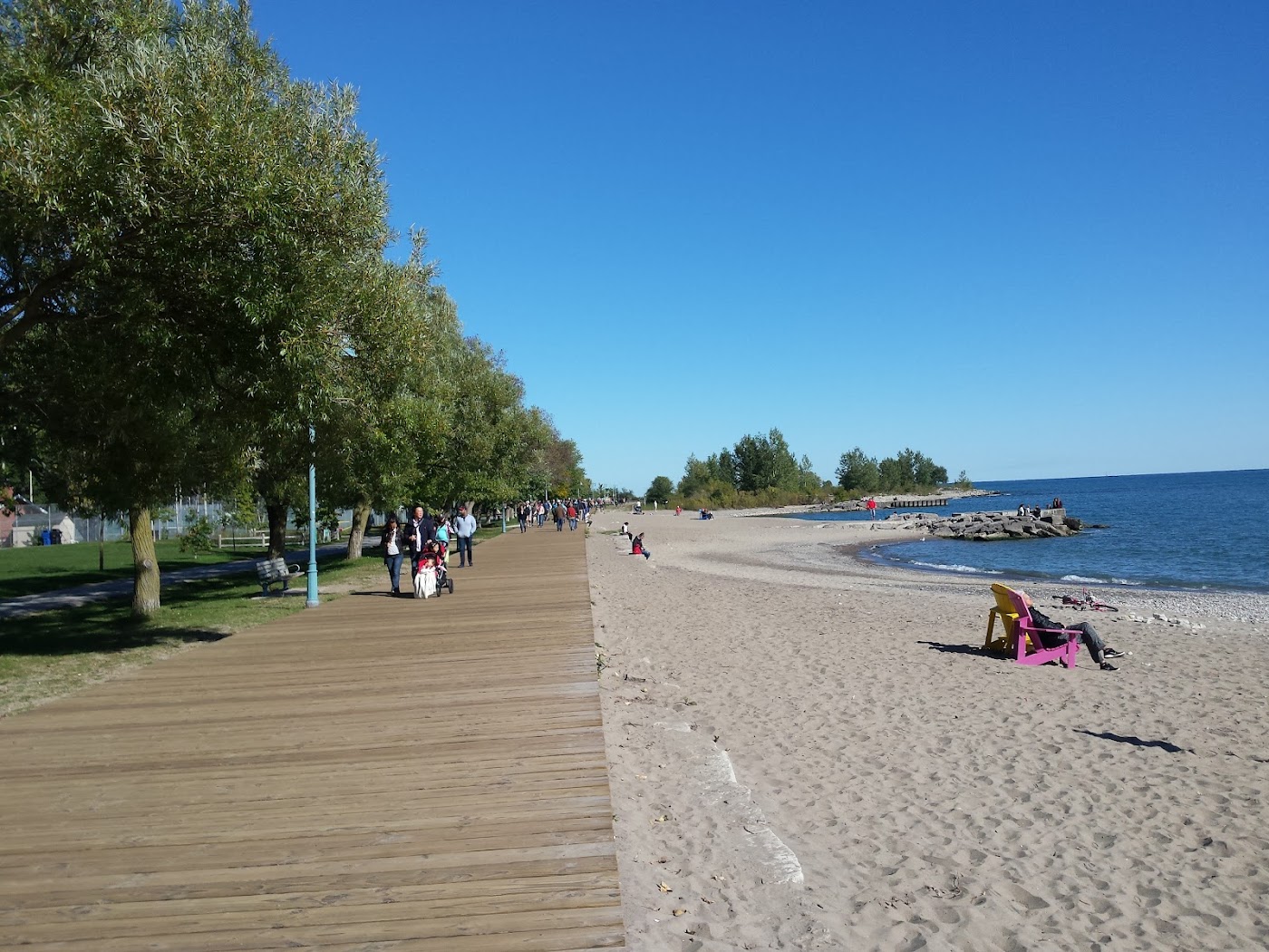
Leslieville is the classic example: a former working-class east-end strip that the streetcar turned into brunch-and-boutiques territory, with Victorian semis to match. Ride a little further and the Beaches trades the downtown commute for a boardwalk and a small-town feel — you pay for the lake instead of the proximity.
In Toronto, the streetcar map and the price map are nearly the same map.
The lesson holds in reverse, too. Step one neighbourhood off the line — into the Junction or a pocket between routes — and the same house can cost noticeably less. In Toronto, the fifteen-minute ride is the real currency; how close you are to it sets your budget more than square footage ever will.
Common questions
How does transit affect Toronto home prices?
Is Leslieville a good neighbourhood?
What is the difference between Leslieville and the Beaches?
Sources & further reading
The neighbourhoods in this note
Find your fit in Toronto
Get matched with a local expert who actually knows these streets — no pressure, no spam.
Get matched →